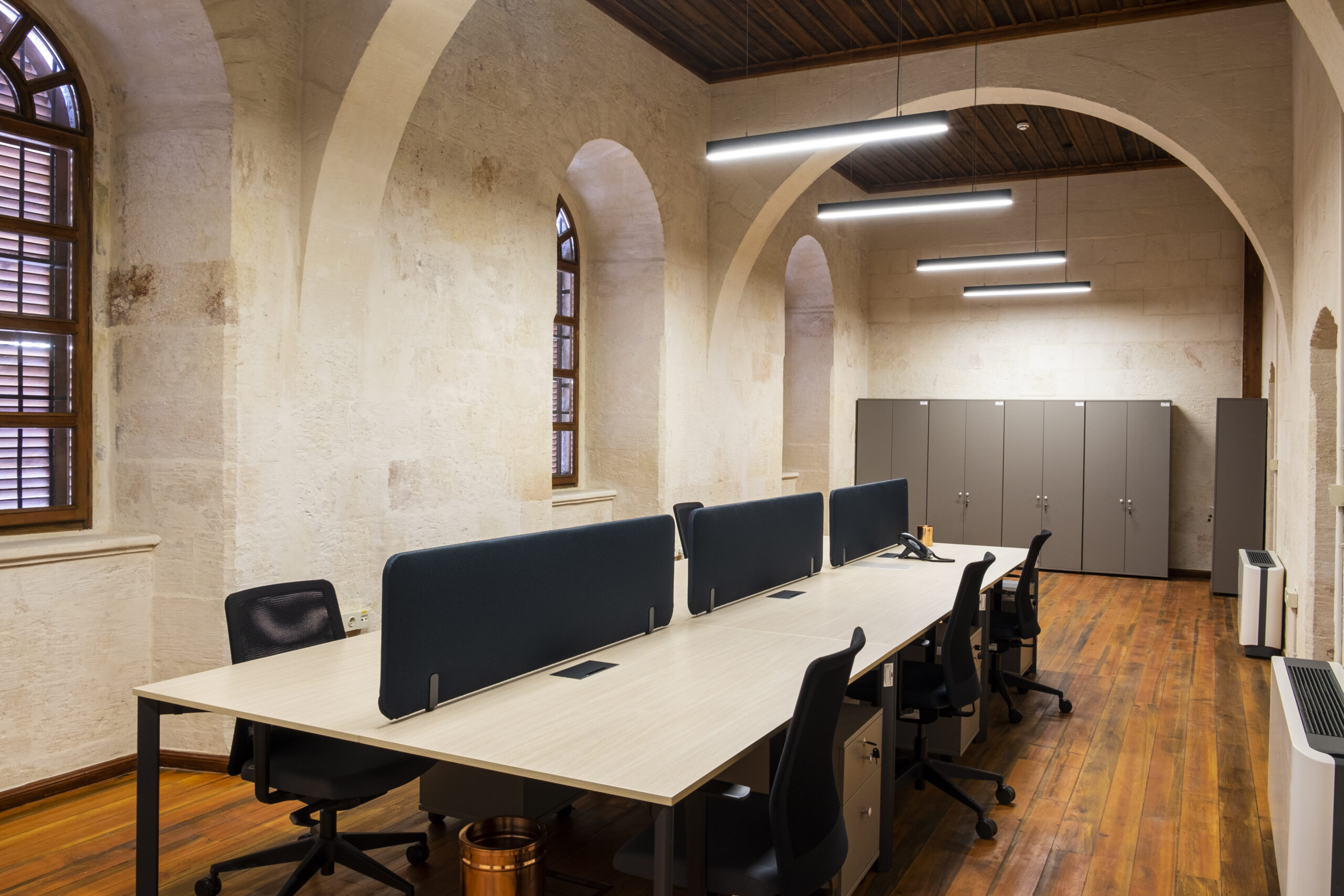
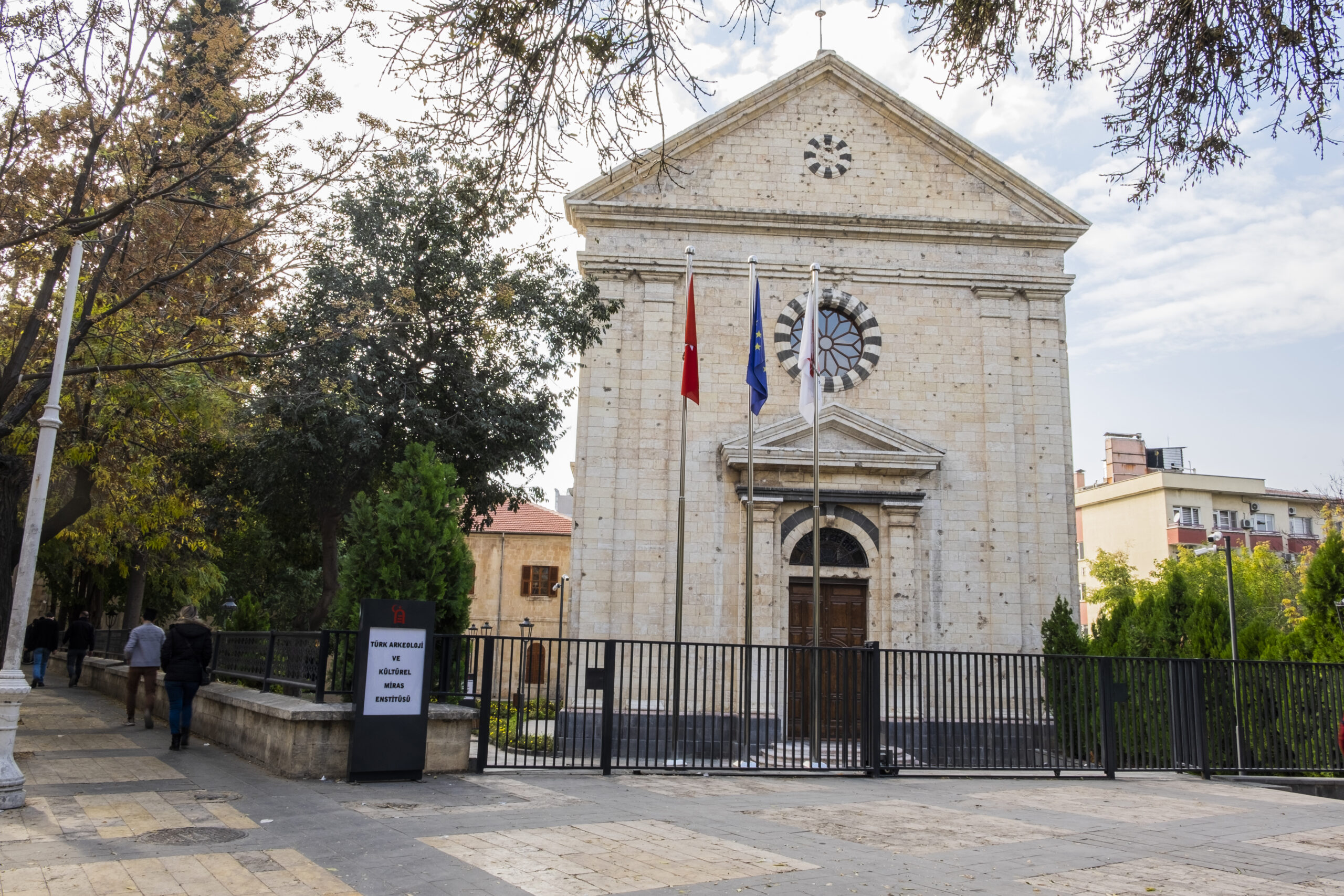
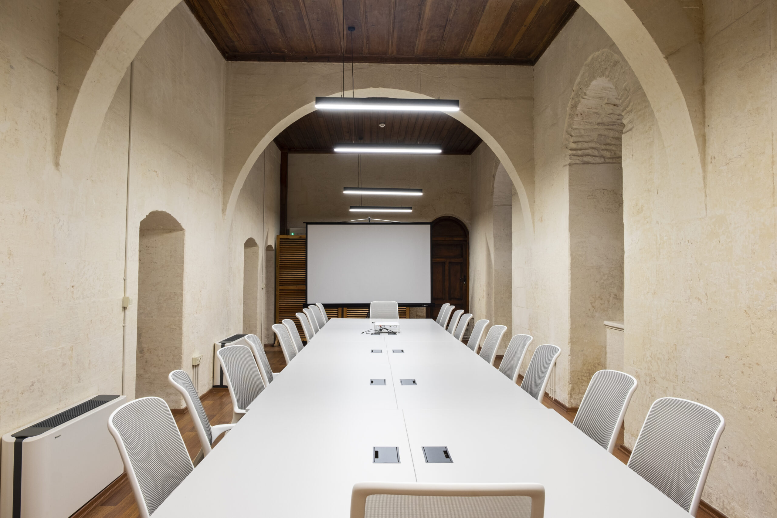
Türk Arkeoloji ve Kültürel Miras Enstitüsü

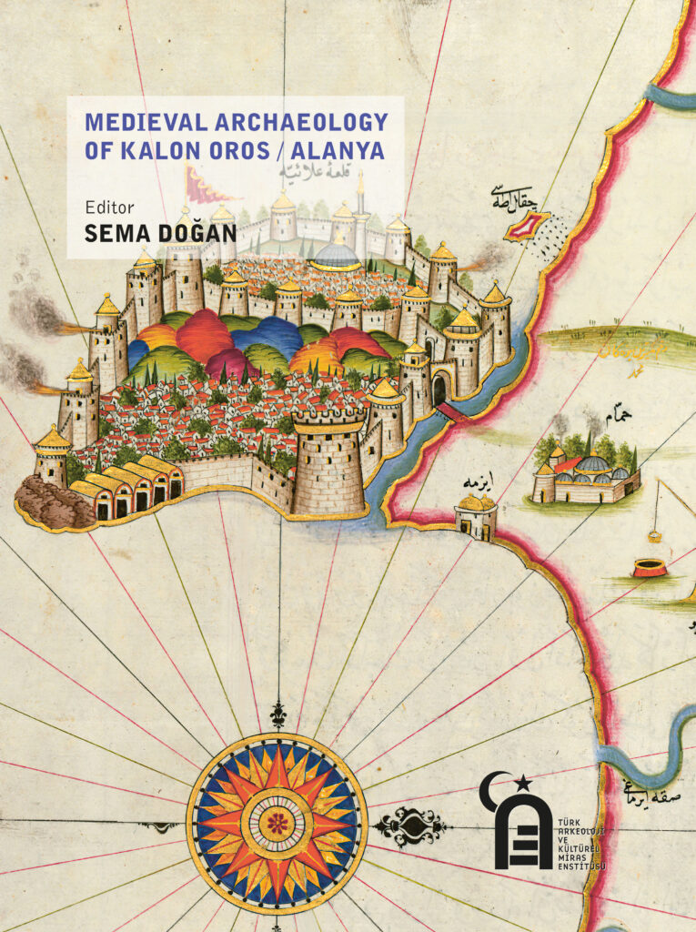
During the excavations and surveys in Alanya and its surroundings, the cultural remains found in settlements, castles, and ports starting from the Bronze Age on, through layers of the Hellenistic, Roman, Byzantine, Seljuk, Armenian Kingdom of Cilicia, and Ottoman
periods were examined by archaeological methods. The city, which was called Korake-sion in antiquity and Kalon Oros in Byzantium, was included in the dioceses of Pamphylia from the seventh to the twelfth centuries. During this process, Alanya continued its religious existence in the rural settlement pattern, and meanwhile, due to its strategic position on the trade routes and its status as a port, the military defense system of the city required strengthening. In the Middle Ages, small and sheltered harbors around Alanya also allowed pirates to take refuge.
When Venetians, Genoese, and Pisans of Italian Republics headed to the Levant on the trade route to support the Crusades, Alanya, which was establishing a connection between Anatolia and Europe, became one of the ports for stopping and stocking up on food, especially in the twelfth century. Although Alanya is not seen on the route that the Crusaders followed through Anatolia on their journey to Jerusalem, garrison castles were needed to ensure security and control on the roads descending from the Taurus Mountains to the coast.
As the winter palace of Alaeddin Keykubad I during the Seljuk period, Alanya was the center of administration. In this period, the city, which was named Alâiye –in reference to Alaeddin– housed one of the most important palace structures of the period.
From the road network map of the Roman Empire, Tabula Peutingeriana, to the Catalan portolans, from the pictorial maps of Piri Reis in Kitab-ı Bahriye in the sixteenth century to the Medici Lazara map in the seventeenth century and the travelers’ engravings in the eighteenth and nineteenth centuries, Alanya became the focus as it stood out with its geopolitical structure among the ports of the Mediterranean. The fact that it was included in the written and visual documents throughout history reveals the importance of the city in every period.
Ali Akın Akyol Sema Doğan Osman Eravşar Nick Krabbenhoeft Scott Redford Ayşe Çaylak Türker Faruk Yılmazer


AB-TR Anadolu Arkeoloji ve Kültürel Miras Enstitüsü Projesinin tüm bileşenleri tamamlanmış olup, Türk Arkeoloji ve Kültürel Miras Enstitüsü kuruluş çalışmaları, 7439 sayılı Türk Arkeoloji ve Kültürel Miras Vakfı Kanunu ile tamamlanmıştır.
Daha fazla bilgi için: takme.org
This will close in 0 seconds